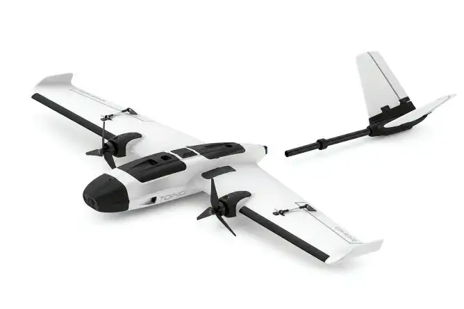
UAV VR2 Mid-Range Topographic & 3D Surveying Platform
Geospatial Precision Topography Platform
Carbon Fuselage
100% Carbon fiber impact & corrosion resistance.
RTK Guidance
Dual GNSS positioning accurate to ±2cm.
Anti-Jamming Link
FHSS frequency-hopping anti-jamming telemetry.
Core Operational Features
Powered by autonomous machine vision and mission-critical aviation avionics.
High-Precision 3D Mapping
Surveys thousands of hectares per mission, generating centimeter-accuracy point clouds.
High-Altitude Operation
Ascends reliably up to 4,000m ASL for comprehensive mountain and maritime oversight.
Extended Endurance
Optimized power management allows sustained aerial monitoring over mission zones.
Detailed Specifications & Performance Sheet
Field Applications
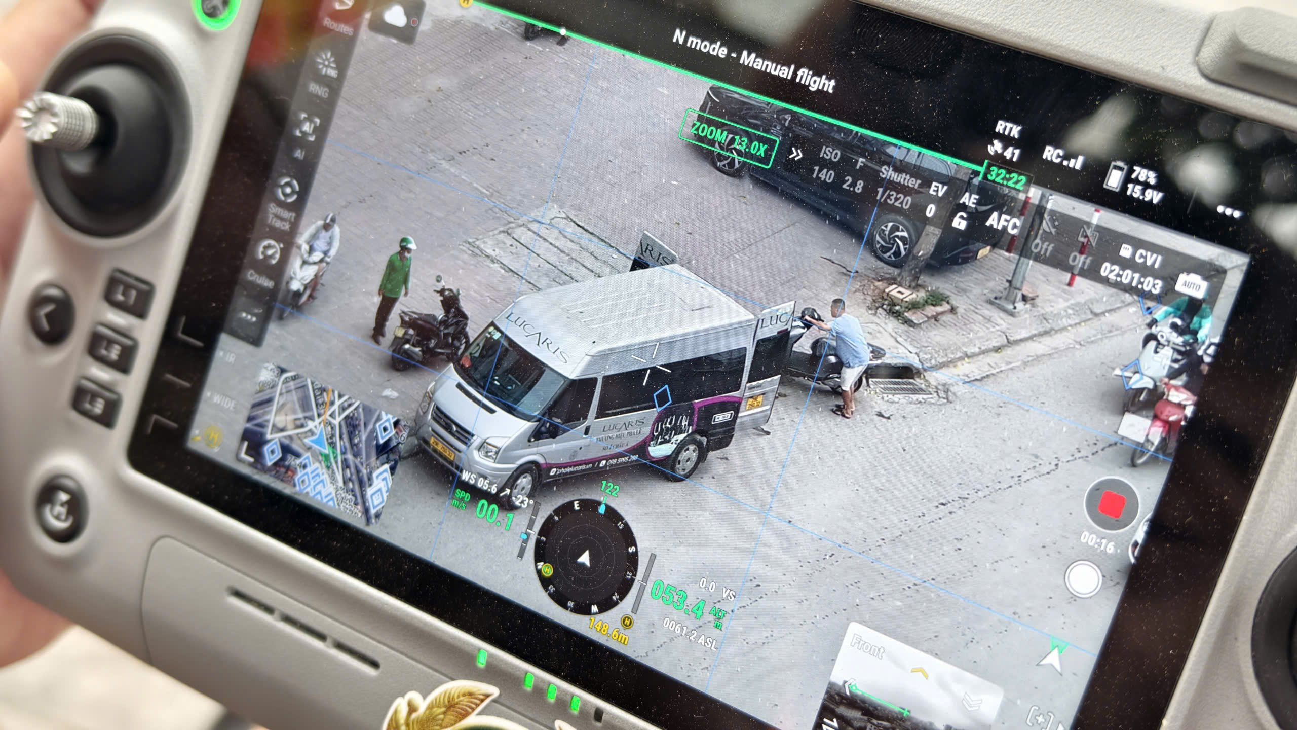
On-site Intelligent Processing
AI BOX turns conventional camera streams and UAV video feeds into an intelligent edge-computing surveillance grid directly on the ground.
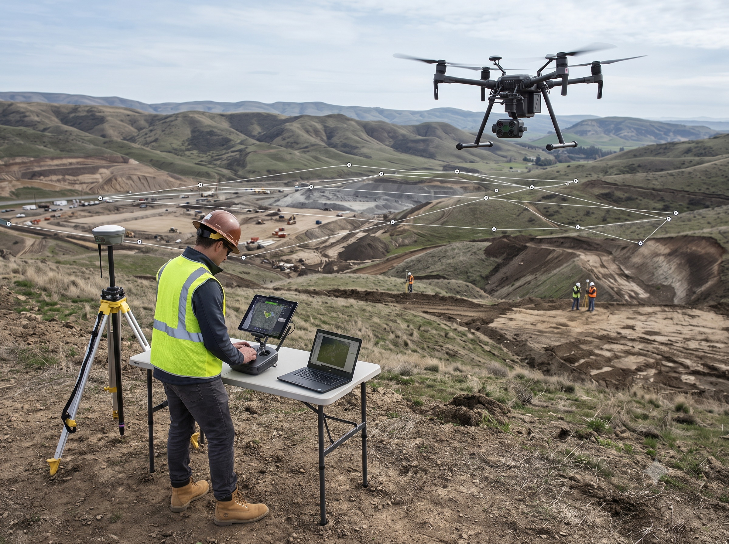
Reconnaissance & Terrain Survey
Hybrid VTOL and VR-Series platforms equipped with dual optical/thermal sensors and extended hovering endurance for high-precision 3D mapping.
Sibling & Related Lineup
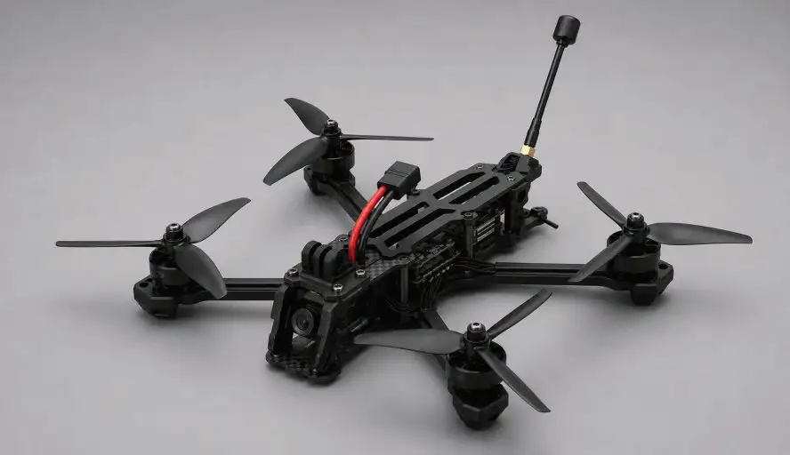
UAV XR5
Ultra-compact, highly agile, rapid-deployment tactical interceptor engineered for security enforcement and armed units.
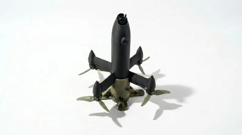
UAV XR5+
High-speed rapid-pursuit interceptor with 700m target acquisition and autonomous lock-on tracking capabilities.
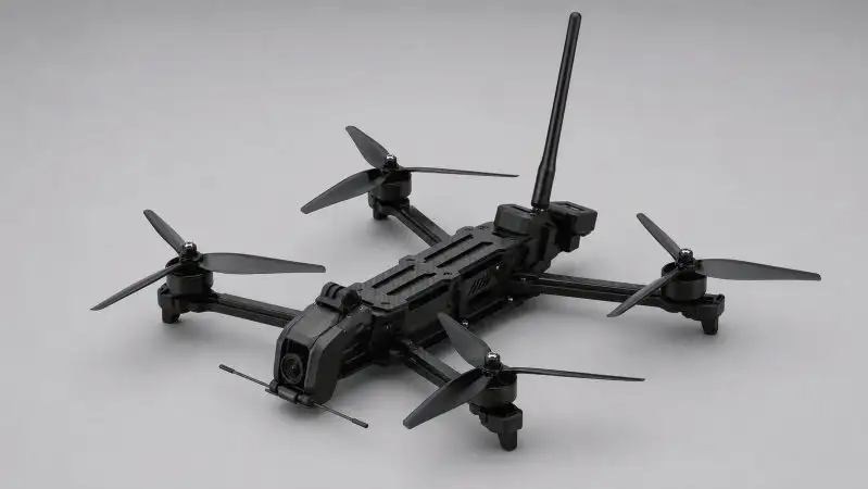
UAV XR7
Mid-range payload platform with high wind resistance, ideal for continuous border patrol and broad surveillance perimeters.
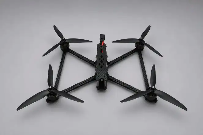
UAV XR10
Airborne surveillance command and emergency disaster rescue hub with heavy mission payload capacity up to 2kg.
Equip Your Unit With UAV VR2
Our team of flight test engineers and UAV specialists is ready for on-site surveys, hands-on training, technology transfer, and 24/7 technical support nationwide.