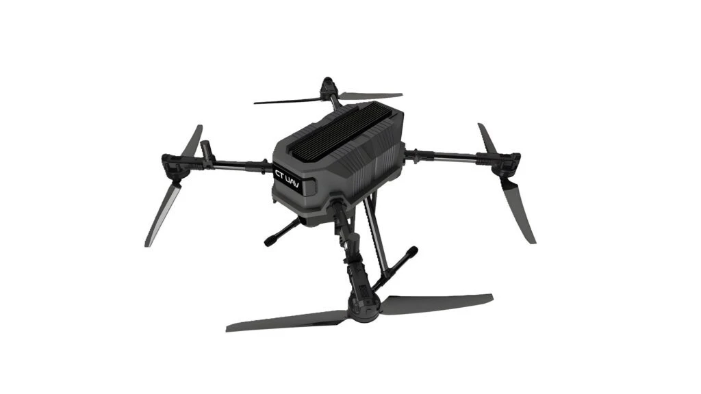
SURVEY COMPACT 5KG High-Precision Survey Drone
SURVEY COMPACT 5KG Overview
Carbon Fuselage
100% Carbon fiber impact & corrosion resistance.
RTK Guidance
Dual GNSS positioning accurate to ±2cm.
Anti-Jamming Link
FHSS frequency-hopping anti-jamming telemetry.
Core Operational Features
Powered by autonomous machine vision and mission-critical aviation avionics.
Survey-Grade Multi-Constellation RTK/PPK
Tracks GPS, GLONASS, Galileo, and BeiDou with microsecond camera shutter time synchronization.
Distortion-Free Mechanical Shutter Camera
Full-frame mechanical shutter eliminates rolling-shutter distortion during high-speed aerial passes.
Compact Backpack-Sized Portability
Packs neatly into a single expedition backpack, assembled and airborne in under 2 minutes.
Automated 3D Photogrammetry & DEM Workflow
Seamless compatibility with Pix4D, Metashape, and Bentley ContextCapture for true-color 3D meshes.
Detailed Specifications & Performance Sheet
Field Applications

Administrative AI Assistant
Proprietary internal LLM solution specifically tailored for government agencies and enterprise operations, guaranteed 100% On-premise air-gapped security.
On-site Intelligent Processing
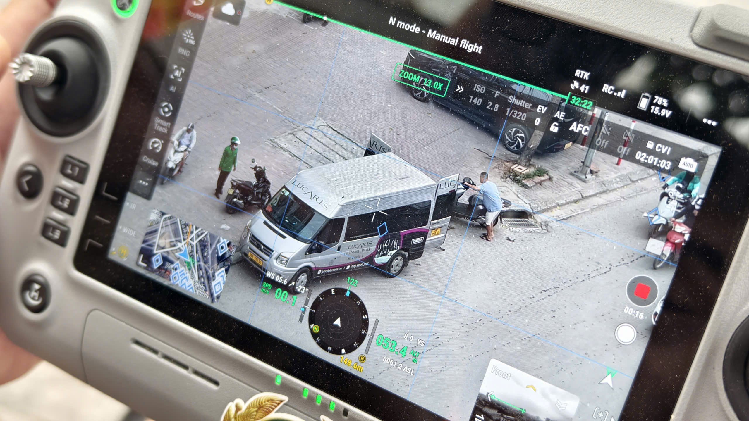
AI BOX turns conventional camera streams and UAV video feeds into an intelligent edge-computing surveillance grid directly on the ground.
Security, Interception & Defense
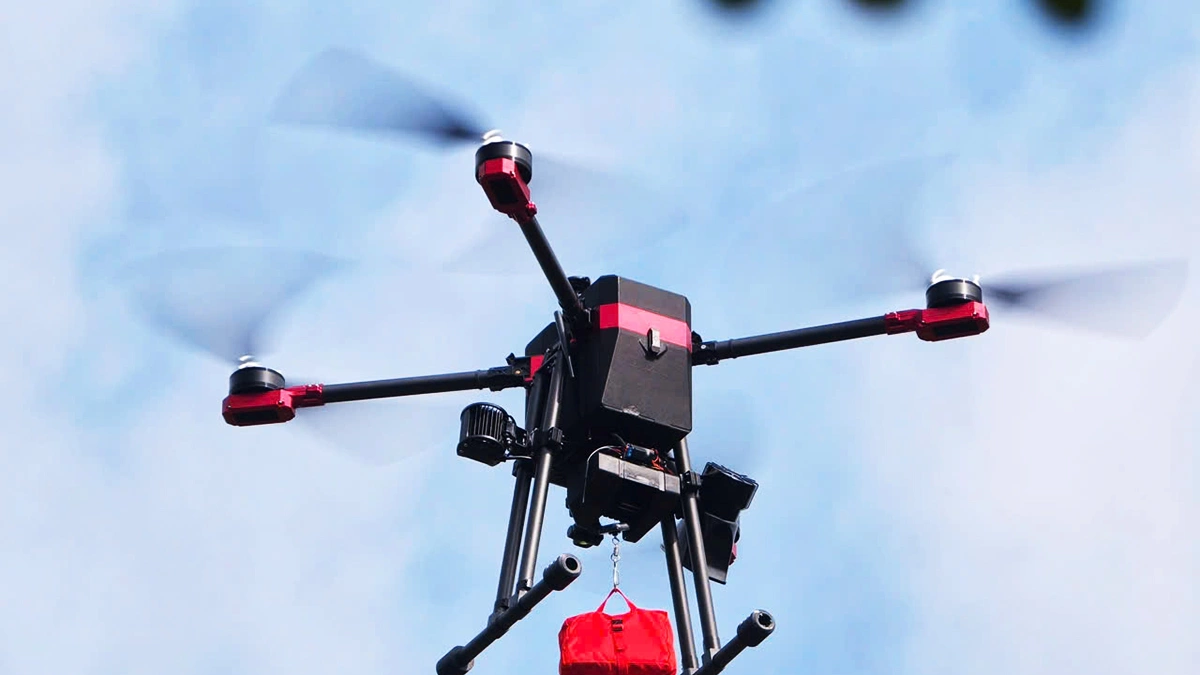
The XR-Series tactical UAV fleet delivers rapid-reaction target interdiction, critical infrastructure defense, and high-speed vehicle pursuits.
Sibling & Related Lineup
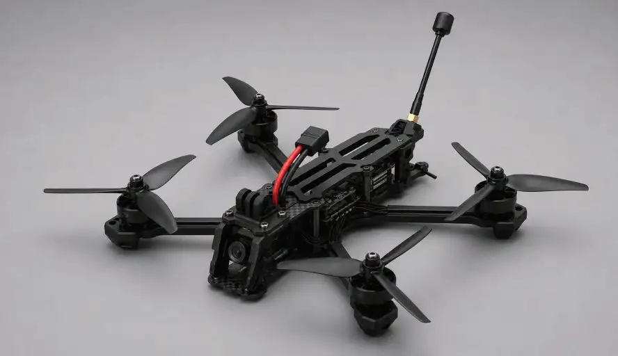
UAV XR5
Ultra-compact, highly agile, rapid-deployment tactical interceptor engineered for security enforcement and armed units.
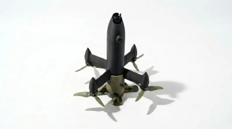
UAV XR5+
High-speed rapid-pursuit interceptor with 700m target acquisition and autonomous lock-on tracking capabilities.
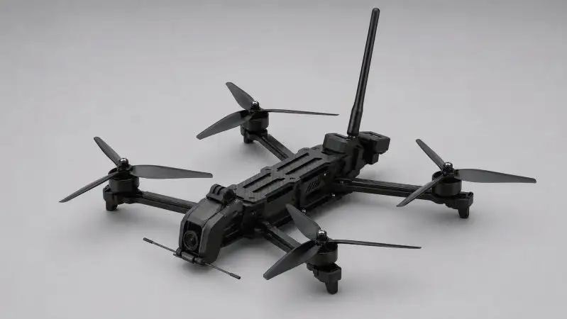
UAV XR7
Mid-range payload platform with high wind resistance, ideal for continuous border patrol and broad surveillance perimeters.
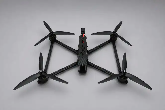
UAV XR10
Airborne surveillance command and emergency disaster rescue hub with heavy mission payload capacity up to 2kg.
Equip Your Unit With SURVEY COMPACT 5KG SURVEY DRONE
Our team of flight test engineers and UAV specialists is ready for on-site surveys, hands-on training, technology transfer, and 24/7 technical support nationwide.