

SPECTRAL 12KG Agricultural Multispectral UAV
SPECTRAL 12KG Overview
Carbon Fuselage
100% Carbon fiber impact & corrosion resistance.
RTK Guidance
Dual GNSS positioning accurate to ±2cm.
Anti-Jamming Link
FHSS frequency-hopping anti-jamming telemetry.
Core Operational Features
Powered by autonomous machine vision and mission-critical aviation avionics.
Universal Multispectral Sensor Mount
Seamless plug-and-play compatibility with MicaSense, RedEdge-P, Altum-PT, and custom hyperspectral imagers.
Extended Flight Endurance
Generous flight times enable continuous coverage of hundreds of hectares per workday at sub-inch GSD.
Integrated Survey-Grade RTK/PPK
Direct photo geotagging with centimeter-grade accuracy eliminates the need for dense ground control points (GCPs).
Automated Cloud Analytics Workflow
Generates standardized variable-rate prescription maps ready for upload into autonomous tractors and spray drones.
Detailed Specifications & Performance Sheet
Field Applications

Administrative AI Assistant
Proprietary internal LLM solution specifically tailored for government agencies and enterprise operations, guaranteed 100% On-premise air-gapped security.
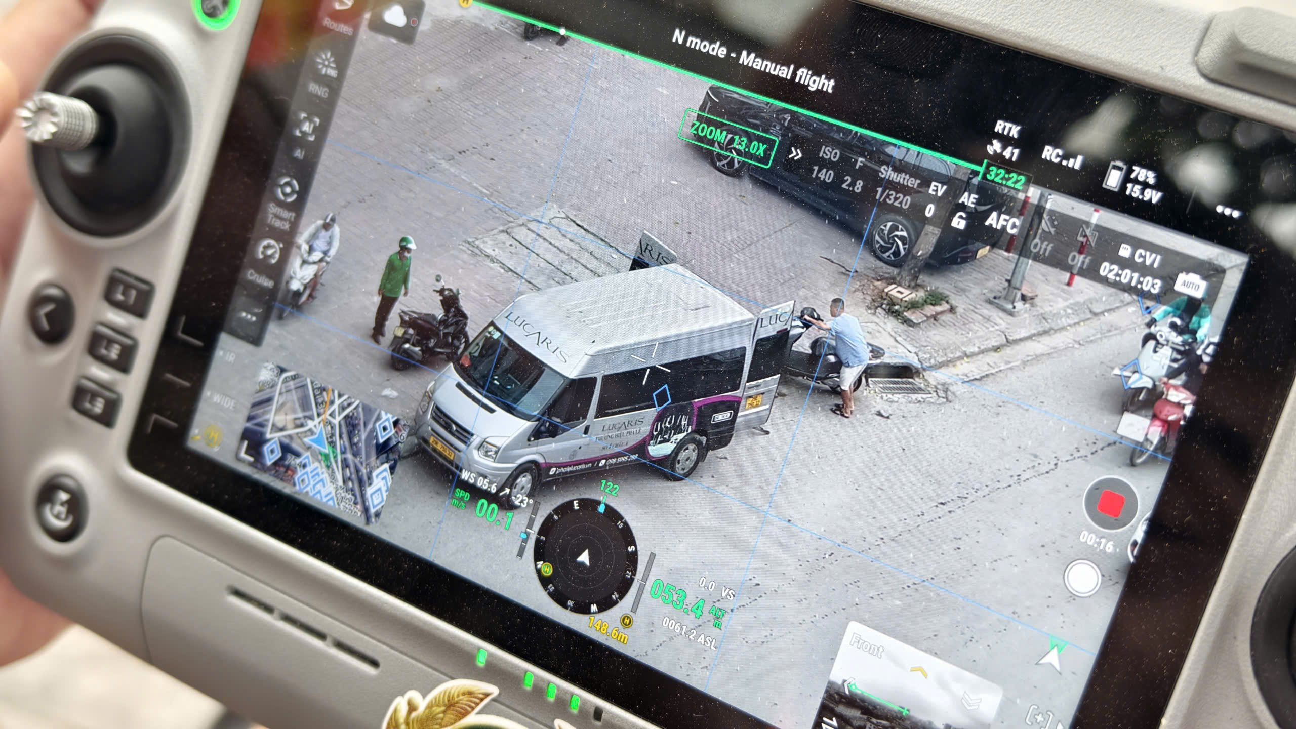
On-site Intelligent Processing
AI BOX turns conventional camera streams and UAV video feeds into an intelligent edge-computing surveillance grid directly on the ground.
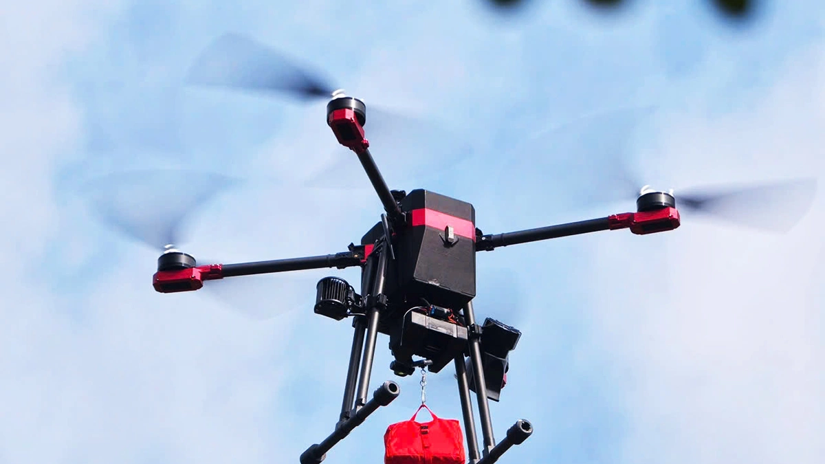
Security, Interception & Defense
The XR-Series tactical UAV fleet delivers rapid-reaction target interdiction, critical infrastructure defense, and high-speed vehicle pursuits.
Sibling & Related Lineup
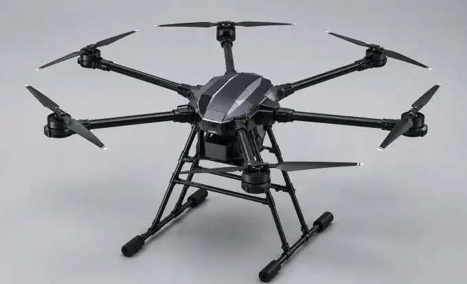
UAV HR6
Agile utility transporter for rapid medical resupply and emergency flood relief delivery with a 6kg cargo capacity.
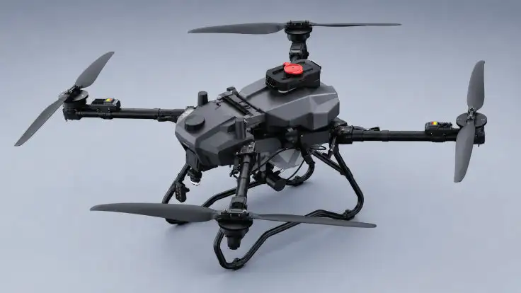
UAV HR20
Mid-tier transport platform supporting agile tactical resupply and high-precision smart agriculture crop-protection spraying.
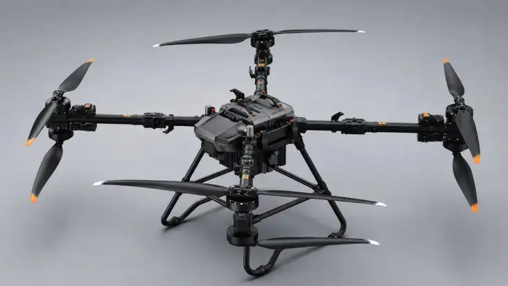
UAV HR120
Heavy-lift aerial workhorse engineered to airlift massive cargo across mountainous gorges, dense jungle, and steep canyon terrains.
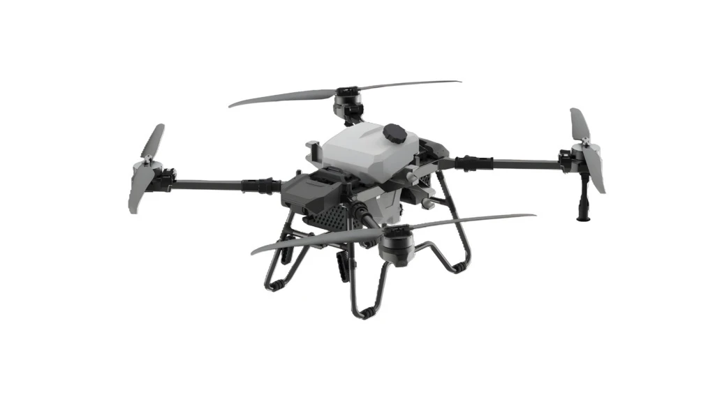
AQUAINTEL 35L AQUACULTURE DRONE
35-liter specialized aquaculture drone designed for automated feeding and ecological water conditioning across massive shrimp ponds.
Equip Your Unit With SPECTRAL 12KG MULTISPECTRAL DRONE
Our team of flight test engineers and UAV specialists is ready for on-site surveys, hands-on training, technology transfer, and 24/7 technical support nationwide.